Hoosier Weather
Home
(current)
Precipitation Details
Solar Energy Details
Temperature Details
YouTube Channel
About Me
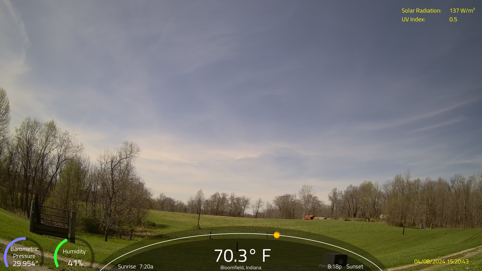
Current Conditions: Bloomfield, Indiana
Barometer:
Humidity:
Dew Point:
Solar Radiation:
UV Index:
Precip Today:
Precip Month:
Precip Year:
Previous
Next
Precipitation — Last 24 Hours
Details
Precipitation — Last 7 Days
Details
Solar Energy & UV Index — Last 24 Hours
Details
Solar Energy Overview by Month
Details
Forecast Product:
Zone
7-Day
Expand All
Collapse All